
Below are a few Vintage Maps showing the position where the tiny town of Koingnaas would later be build.
Studying the maps also give one and idea of how South Africa grow in 300+ years.
Map number 5 is an map showing the different mining areas along the West Coast of Koingnaas. Most of these areas are still mined today my small contact companies.
Cape Colony Map of 1890

South Africa Map of 1903

SA Map of 1935

Vintage Hand Drawn Map of Namaqualand

Koingnaas Mining Map of 2017

Africa Map of 1910
RSA Town & Road Map

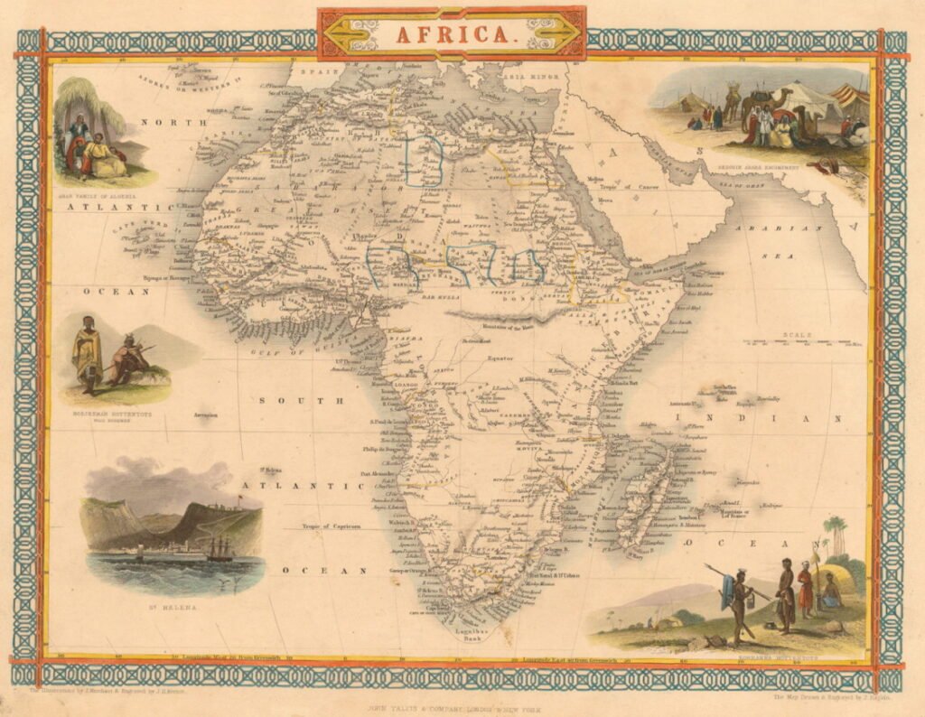
1850’s Africa Map